
See the surface. Plan its maintenance.
Build a dated view of working pavement. Link visible condition and supported surface measurements to the maintenance question.
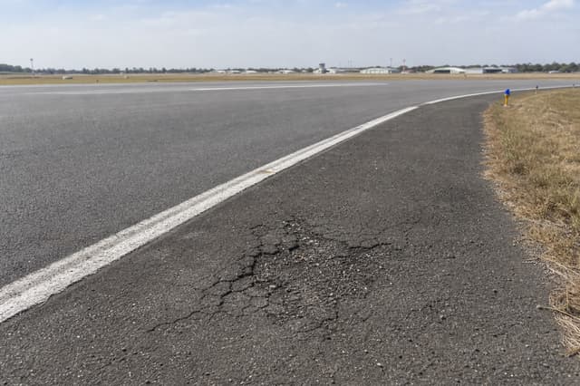 Concept
Explore the surface
Get closer to the pavement.
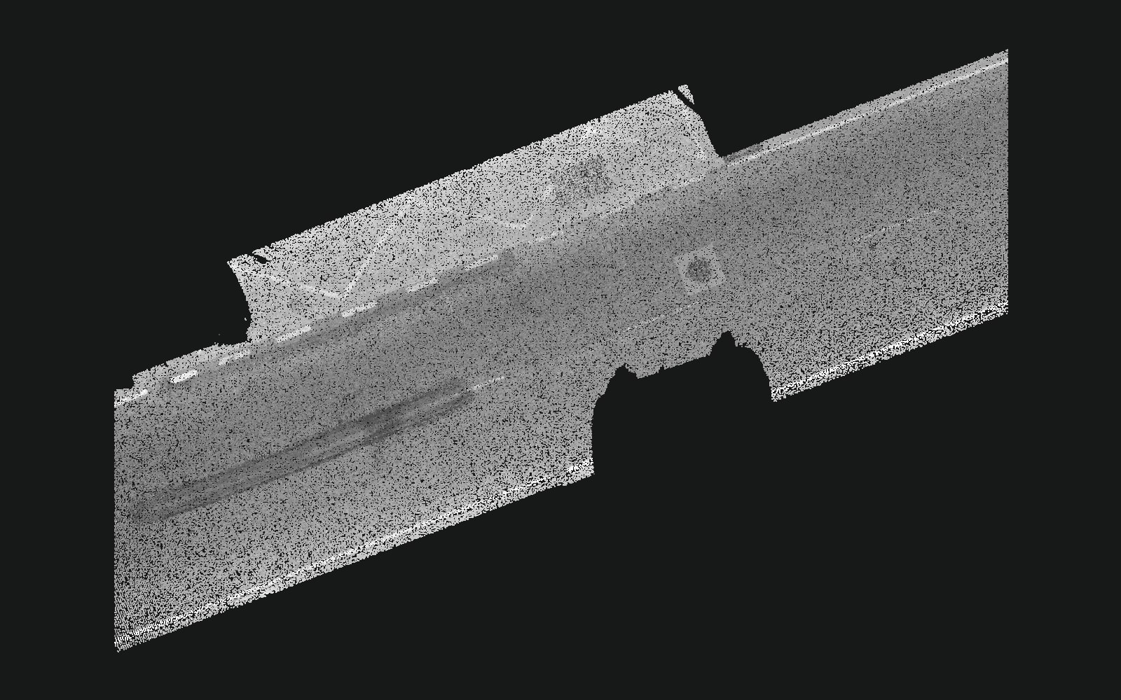
Source: SUD-ROAD, Qiu and colleagues. Vehicle-mounted scan with publisher annotations. Cropped, reduced and rotated for display. Apache 2.0 license.
Agreed outputs
A record your team can use.
Use a dated 3D surface record to plan pavement maintenance.
- A dated surface record
- A 3D view and photos of the agreed area.
- Reviewed findings
- Surface condition and dimensions that pass agreed quality checks.
- A maintenance handoff
- Reports and exports for your maintenance team.
Scope and checks
We agree coverage and measurement checks before capture. Repeat visits need comparable coverage to show change.
Capture options
Your team operates the leased equipment and reviews detections. MESR handles processing, support and normal servicing. Separately scoped inspections are also available.
Snouta 3D
Ground capture with a laser scanner
A robot dog with a laser scanner for surface geometry and agreed measurement checks.
Snouta 360
Ground capture with a 360 camera
A robot dog with a 360 camera for repeat visual capture from the ground.
Skysnout 360
Aerial capture with a 360 camera
A drone with a 360 camera for visual capture where an aerial route suits the asset.