
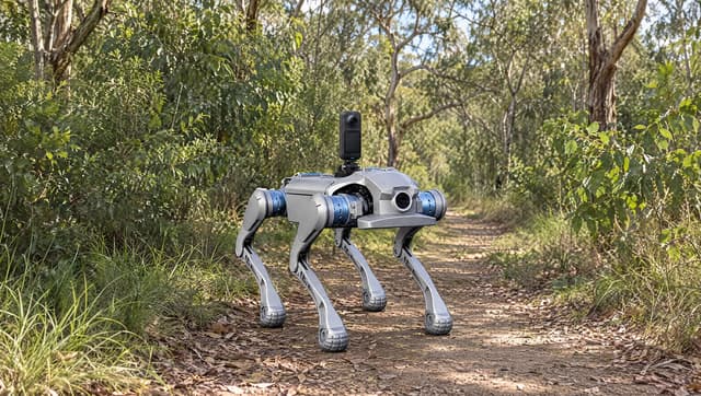
Ground capture with a 360 camera
Snouta 360
A robot dog with a 360 camera for repeat visual capture from the ground.
Explore Snouta 360Fleet Snout
Fleet Snout pairs gate cameras with condition comparisons. Review visible changes and return times in one record.
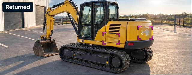
Beyond the depot gate
Ground and aerial capture support vegetation, pavement and civil inspections. Choose the method that fits your access and the evidence you need.
Ground capture with a 360 camera
A robot dog with a 360 camera for repeat visual capture from the ground.
Explore Snouta 360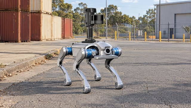
Ground capture with a laser scanner
A robot dog with a laser scanner for surface geometry and agreed measurement checks.
Explore Snouta 3D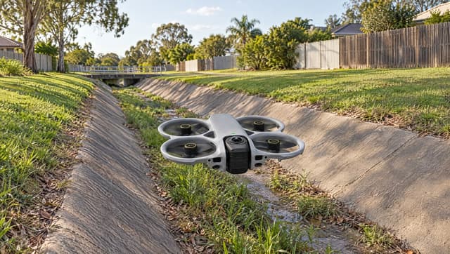
Aerial capture with a 360 camera
A drone with a 360 camera for visual capture where an aerial route suits the asset.
Explore Skysnout 360Compare solutions
| Solution | Capabilities | Record | Primary team |
|---|---|---|---|
| Fleet Snout | Gate capture, visible condition comparisons and arrival records for mobile assets. | Before-and-after views, highlighted changes and arrival times | Hire, fleet and depot operators |
| Snouta 360 | 360° source capture, optional repeat-route navigation and automatic detections for review. | Dated imagery and possible detections for customer review | Environmental and weed program managers |
| Snouta 3D | Surface geometry, optional repeat-route navigation and measurements matched to the job. | A 3D point cloud and analysis within the agreed scope | Maintenance and asset managers at freight terminals and industrial yards |
| Skysnout 360 | 8K all-angle capture, an aircraft at about 455 g and built-in propeller guards. | Dated imagery and source-linked observations for review | Civil asset inspection leads with suitable drone operator capacity |
Robot route automation requires an optional navigation configuration and site testing. Weed and civil detections require usable camera imagery, including alongside a laser scan.